Satellite ClOudand Radiation Property retrieval System (SatCORPS)
Satellite Imagery Retrieval
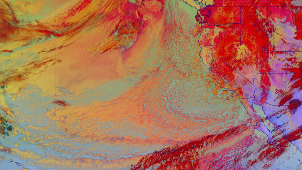
SatCORPS is a comprehensive set of algorithms designed to retrieve cloud information from operational and research meteorological satellite imager data. The SatCORPS algorithms have been adapted to utilize imagery from polar-orbiting, geostationary, and precessing-orbit satellites using dedicated satellite intercalibration and spectral correction efforts. This website provides real-time access to cloud retrieval information. This information, in addition to being available in real-time and near-real-time for dedicated and part-time users, expands the frontiers of knowledge and understanding by providing critical data for research in various disciplines.
Go to SatCORPS for more information.